While I'm still on the topic of USGS topo maps, I wanted to say how excited I am about the USGS Topo TNM Style Template. You can use this template to re-create a GIS ready USGS topographic styled maps. The Topo TNM Style Template is currently only available as an ArcGIS 10.x map document (mxd).
More information on the TNM Style Template can be found at http://viewer.nationalmap.gov/tools/topotemplate. You can download a zipped demo file, which includes a document on how to use the map template and tailor it to your area of interest.
The template is recommended for used with Topo Map Vector Data products, which are still under production. The last I checked (5/21/2016) for available data for Hawaii, only staged data for the Ewa quad is available to use with the TNM Style Template. However, I was able to download other publicly available data and use them in the template. It's not perfect but it still looks very much like the current USGS topo maps in GIS ready format. I've included some sample images of what the map template I've tailored for Hawaii looks like.

USGS staged TNM data available for Hawaii, last checked on 5/21/2016 - only data for Ewa quad is available.A

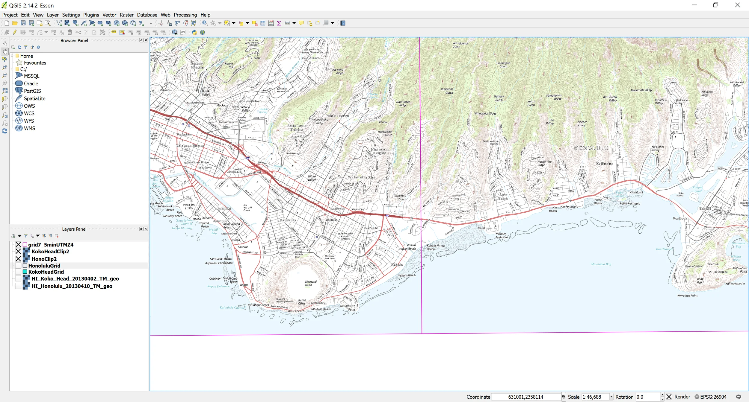
Figure 1: TNM mxd displayed in ArcGIS layout view. Notice the similarity to a printed USGS topo map.
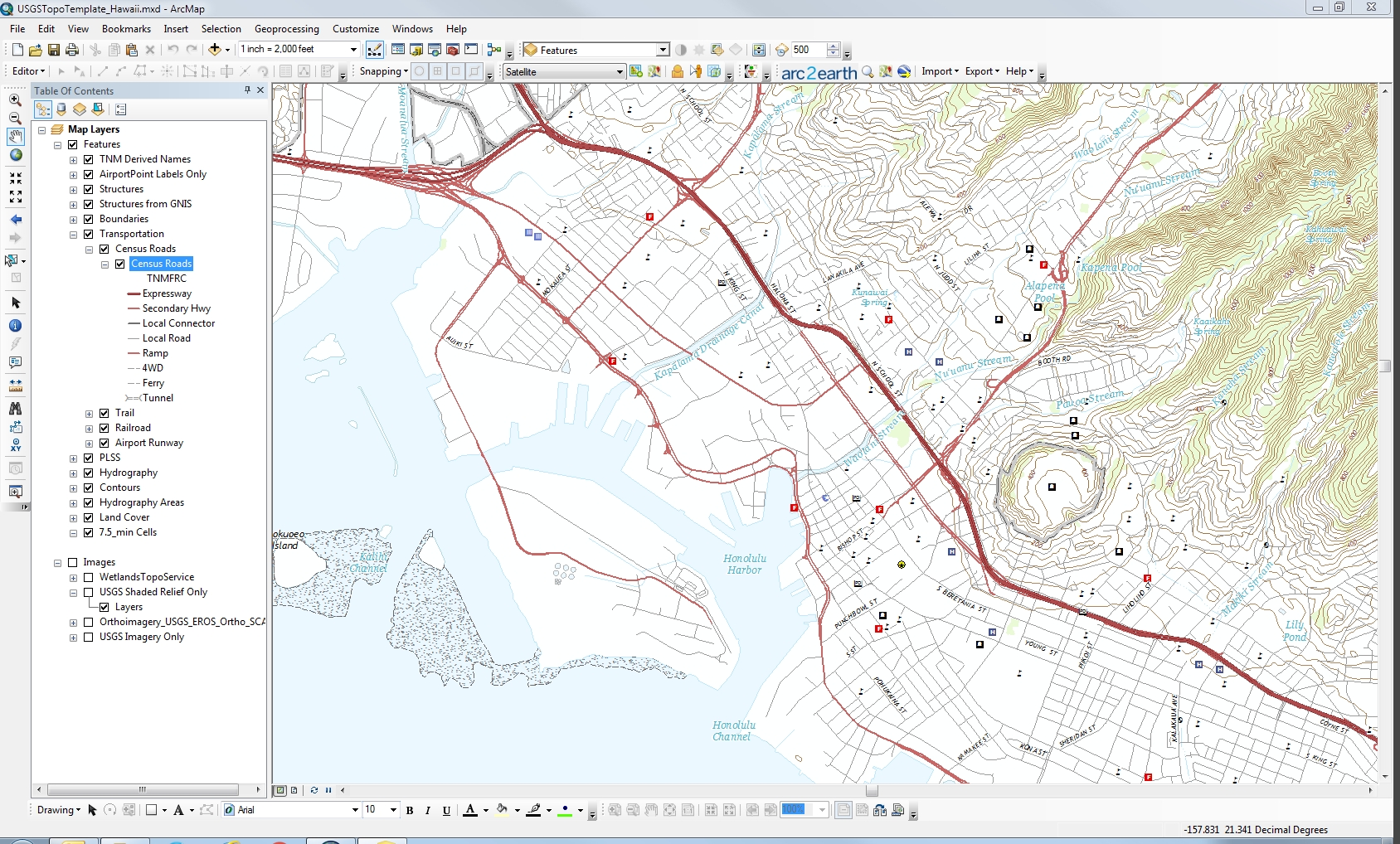
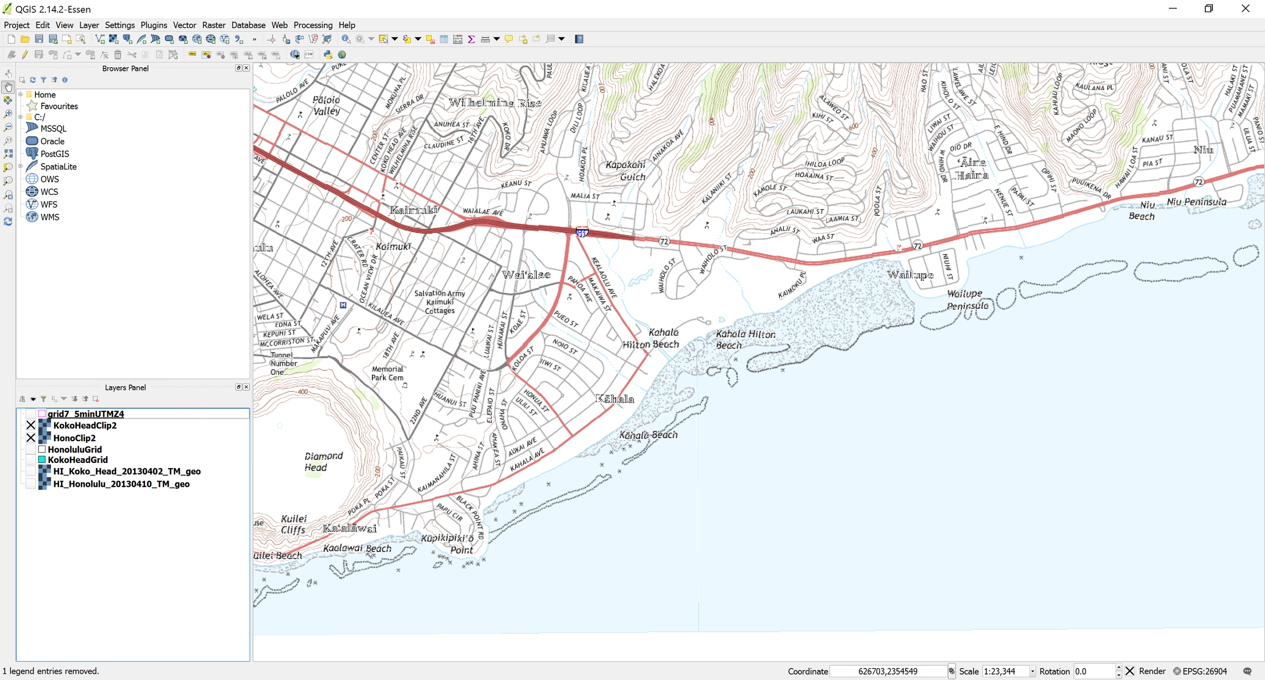
Figure 2: TNM mxd as displayed in ArcGIS data view. This is similar to a printed topo map.